As the
weather started warming up and all trip reports were reporting minimal to no snow
in the White Mountains, it was time to get back up for a another hike. After
The North Hancock experience, there was no way I was heading up to hike a 4,000
footer until the majority if not all snow had melted from the mountains. The Mountains of choice for this hike were Mt. Passaconway
(4,043) and Mt. Whiteface
Wwe left Hudson ,
MA North Sandwich . One of the trails we had planned on our route
was the Blueberry Ledge trail described in the AMC guidebook as potentially one
of the most dangerous trails in the White Mountains
and figured those were the ledges. We
arrived at the Ferncroft Road parking area at about 7:00 and there were only a few cars in the lot.
 |
| View of Whiteface from the Ferncroft parking area |
We
started our hike out at 7:20 along Ferncroft
Road and the ledges of Mt. Whiteface were in clear view again. After about 10 minutes on the road, we hit
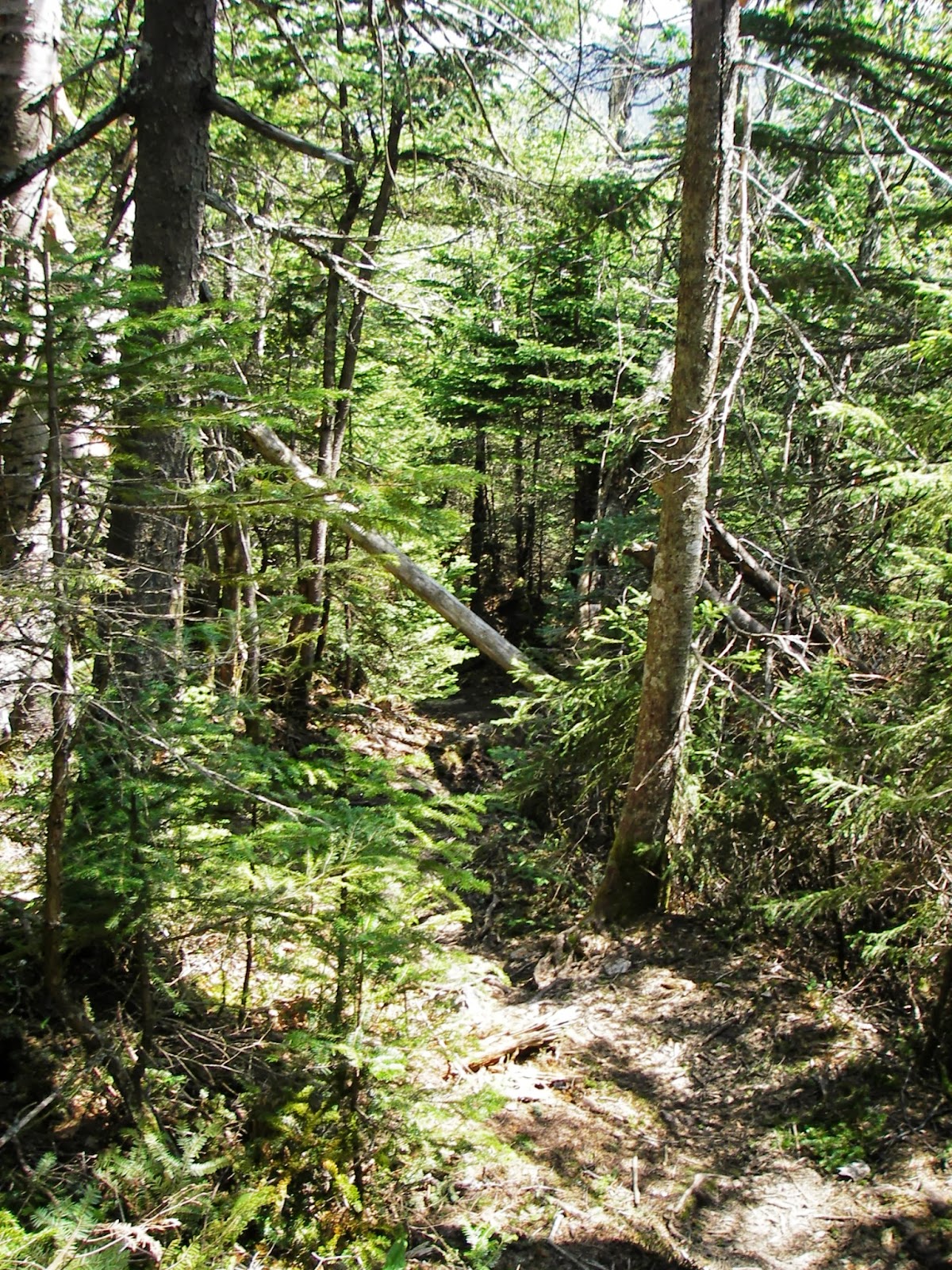
the junction for the Blueberry Ridge Trail.
We were on the trail for about 20 minutes when I heard Kyle yell
moose. I hurried up towards him and saw
the moose gliding through the woods. We
stayed quiet and treaded lightly hoping to catch a glimpse of him
again. His tracks followed the trail for
a few hundred feet until eventually they disappeared. We started again on a speedy pace uphill and
started working up a sweat in the hot humid conditions. Blueberry bushes which
were starting to grow berries were scattered throughout exposed ledge on the
trail. We reached a clearing which was
the the junction of the Blueberry Ledge Cutoff and had to take a moment to find
the trail because a fallen tree was somewhat hiding the trail. Once we spotted the trail we resumed our pace and soon we found ourselves at the beginning of
the steep ledges. At the ledges we
needed to use our hands to climb and pull ourselves up in a couple of spots, but
at no time were we nervous about the height and getting by the ledges went a lot faster than expected. On the ledges there were openings
with hazy views to the south and west. We
reached the false summit of Mt. Whiteface at 9:50 and Kyle busted out the Jet Boil
stove to cook himself some Backcountry pPantry chicken and mashed potatoes. I sat and ate a protein bar while enjoying
the views and watching the Jet Boil stove in action until the swarm of black
flies around me made me get up and keep moving around. After about a ½ hour break, we started on the
Rollins Trail.


The
Rollins Trail led us by the true wooded summit of Mt. Whiteface


At 11:40 we reached the Dicey’s Mill Trail junction which took us to the top of Mt. Passaconway via a steep switchback trail. There was plenty of running water on and near the trail and I scouted out a couple of spots where I could use my water filter to restock my Camelback. We reached the wooded


No comments:
Post a Comment